


Aerial Drone Inspections & Photography in EU
Our Drone Services
We provide a wide range of professional aerial drone solutions for both private and corporate clients.
Our team combines EASA-certified pilots, advanced DJI drones and high-quality post-processing to ensure precise visual results for every project.
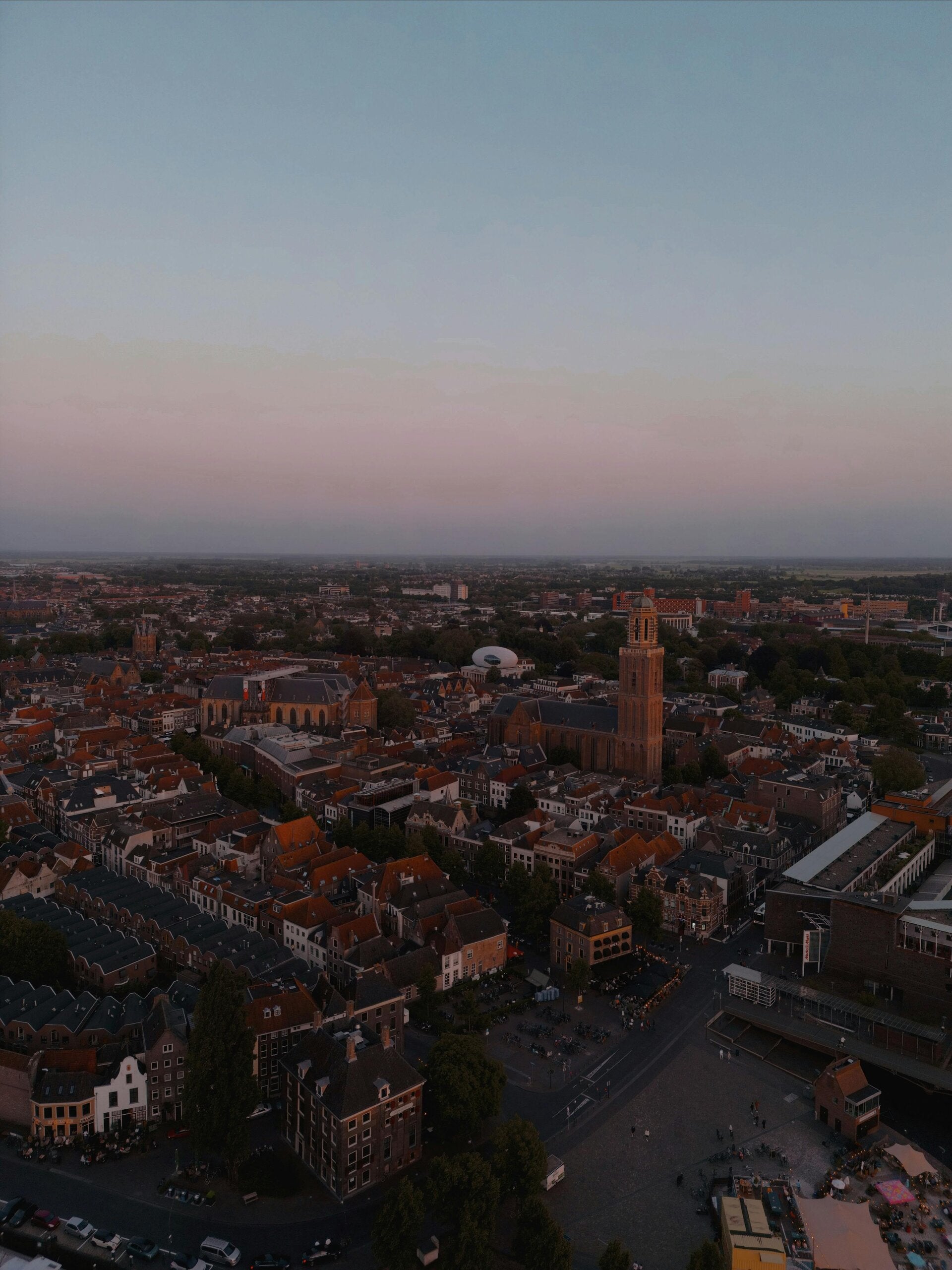
Aerial Photo & Video
Professional drone photography and cinematography
Capture stunning aerial perspectives in 4K HDR for promotional videos, real estate listings, marketing materials, and events.
We deliver fully edited footage or raw media — depending on your project needs.
You get:
-
Crystal-clear 4K photos and video (up to 48 MP)
-
Smooth cinematic drone shots
-
Licensed footage for commercial use
-
Editing and color correction included
Use cases:
Marketing videos, social media, automotive and industrial visuals, architecture showcases.

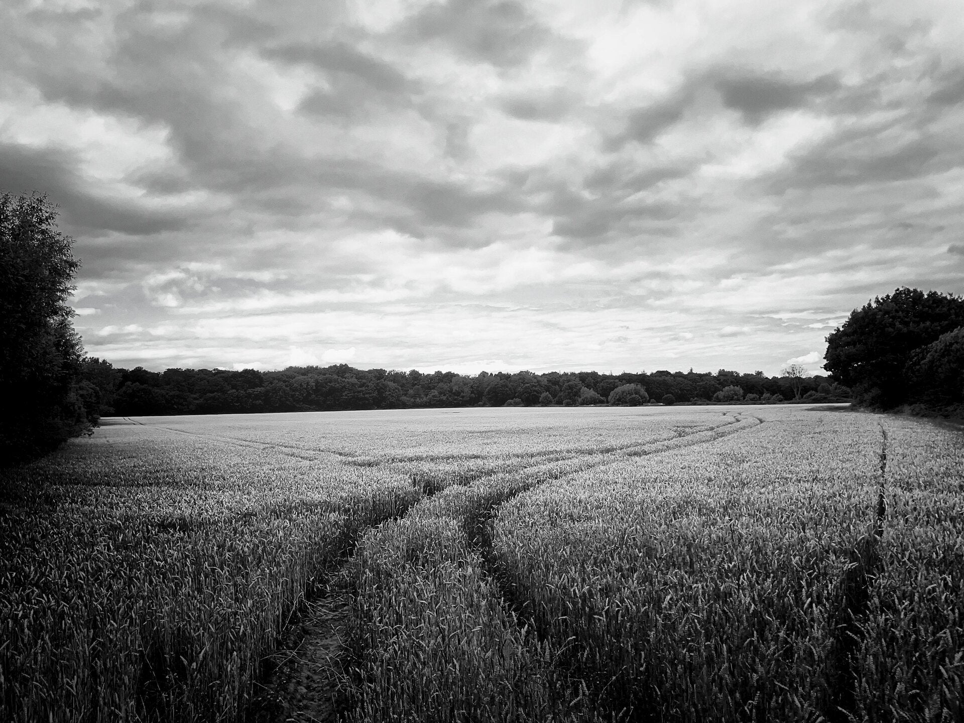
Roof & Solar Panel Inspection
Safe and efficient inspection without climbing or scaffolding
Using high-resolution drones, we detect damage, cracks, dirt or shading on solar panels, roof tiles, gutters, and chimneys.
You get:
-
Detailed close-up photos and videos
-
High-zoom images for technical reports
-
Early detection of leaks, broken panels, or dirt build-up
-
Optional infrared (thermal) imaging for solar efficiency
Suitable for:
Private homeowners, property managers, industrial buildings, supermarkets, logistics centers.
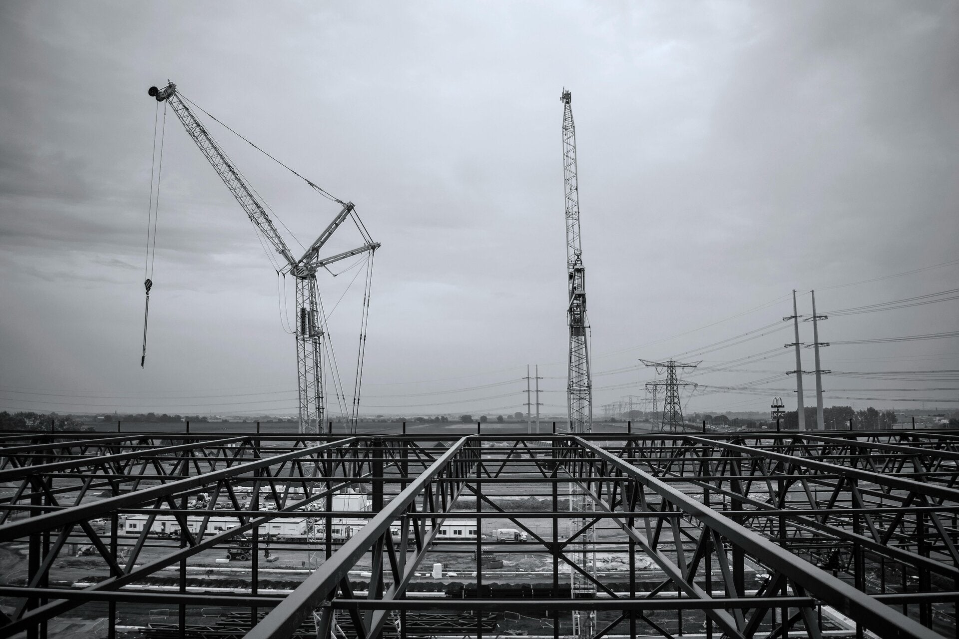
Industrial & Construction Monitoring
Track progress, document safety, and inspect large structures
Drone inspections are ideal for high or hard-to-reach areas — wind turbines, antennas, facades, bridges, pipelines.
We provide:
-
Weekly/monthly construction progress reports
-
Structural inspection for cracks, corrosion, and damage
-
Visual documentation for contractors and investors
-
3D mapping of large industrial sites
Used by:
Construction firms, energy providers, municipal services, and real estate developers.

3D Mapping & Measurement
Accurate mapping and modeling for engineering and surveying
We create 2D orthophotos and 3D digital models of terrain or objects using photogrammetry.
Our output includes:
-
3D model in standard formats (OBJ, LAS, etc.)
-
Topographic maps and volume measurements
-
Distance and area calculations with centimeter precision
-
Before-and-after comparisons for construction tracking
Ideal for:
Surveyors, architects, construction companies, mining and excavation.
Elevating our vision
What began as a personal passion for flight and technology has grown into a professional drone service built on innovation and trust.
At Schaffar System Solutions, we believe that seeing the world from above opens endless possibilities — from improving safety and efficiency to capturing beauty and detail invisible from the ground.
Every project we take on is more than a flight — it’s a mission to deliver clarity, insight, and inspiration from the sky.
About us
Drone-systems combines aviation expertise with creative vision to reveal new perspectives from above.
From cinematic aerial shots to precise technical inspections, we help our clients see their world in greater detail.
Based in Salzkotten, Germany, and operating across the EU, we deliver drone services that meet both artistic and industrial needs — always with safety and professionalism in focus.
Contact us
Location
Drone-systems
Auf der Ewert 10 str. 33154 Salzkotten,
North Rhine-Westphalia, Germany